North Carolina
RTK GNSS Solutions for North Carolina Surveying, Mapping and Precision Positioning
Explore RTK GNSS equipment and precision positioning solutions for North Carolina land surveying, construction development, drone mapping operations, transportation infrastructure, utilities, coastal projects, agriculture, and decentralized GNSS network participation. These category links help professionals across North Carolina find reliable hardware for urban growth, corridor planning, coastal environments, and high-accuracy positioning workflows.
RTK Base Stations in North Carolina for CORS Networks, Surveying and Precision GNSS Infrastructure
Browse RTK base stations for North Carolina surveying firms, engineering teams, utility operators, transportation planners, agricultural operations, and private correction network deployments that require dependable high-accuracy GNSS coverage across urban, rural, coastal, and field-based environments.
Explore North Carolina RTK Base StationsRTK Surveying Equipment in North Carolina for Land Surveying, Construction Layout and Field Mapping
Find RTK GNSS surveying equipment used throughout North Carolina for boundary surveys, site development, civil engineering, utility mapping, transportation planning, and construction layout workflows that depend on fast and accurate positioning data.
Explore North Carolina RTK SurveyingRTK Drone Mapping Equipment in North Carolina for UAV Surveying, Aerial Imaging and Project Inspection
Explore RTK drone mapping hardware for North Carolina UAV operators handling coastal mapping, infrastructure inspection, agriculture imaging, land development planning, construction monitoring, and aerial data collection with precise georeferencing.
Explore North Carolina Drone Mapping RTKGNSS Mining Hardware in North Carolina for Decentralized Positioning Networks and RTK Infrastructure
Review GNSS mining devices for North Carolina users interested in supporting decentralized positioning networks, expanding correction data coverage, and participating in emerging RTK infrastructure opportunities with reliable always-on GNSS hardware.
Explore North Carolina GNSS MiningRTK Smart Antennas in North Carolina for Integrated GNSS Accuracy in Surveying and Mobile Mapping
Shop RTK smart antennas for North Carolina professionals who need compact integrated GNSS solutions for surveying, drone integration, mobile mapping, machine guidance, agriculture technology, and other high-accuracy positioning applications.
Explore North Carolina Smart AntennasRTK GNSS Modules in North Carolina for OEM Integration, Robotics and Embedded Positioning Systems
Discover GNSS modules for North Carolina developers, robotics engineers, UAV manufacturers, OEM integrations, research teams, and embedded positioning systems requiring flexible RTK-capable GNSS performance.
Explore North Carolina GNSS ModulesFeatured Products
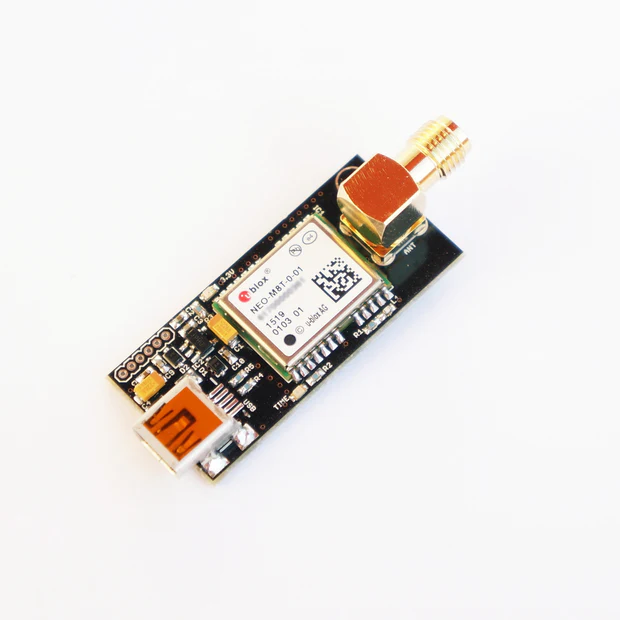
NEO-M8T TIME and RAW receiver board with SMA (RTK ready)
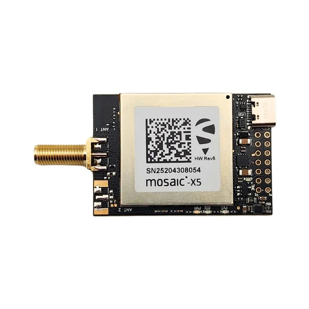
mosaic-X5 RTK InCase PIN GNSS receiver board with USB C
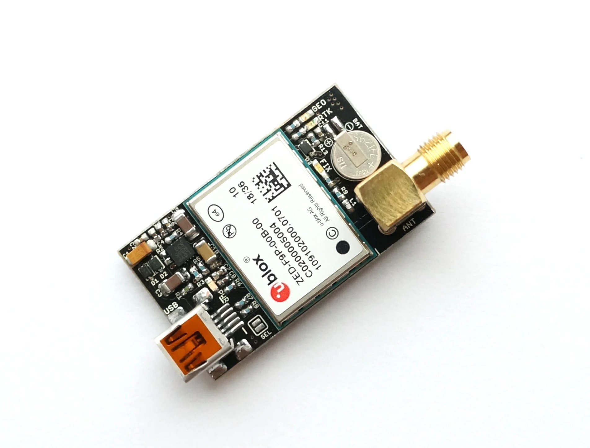
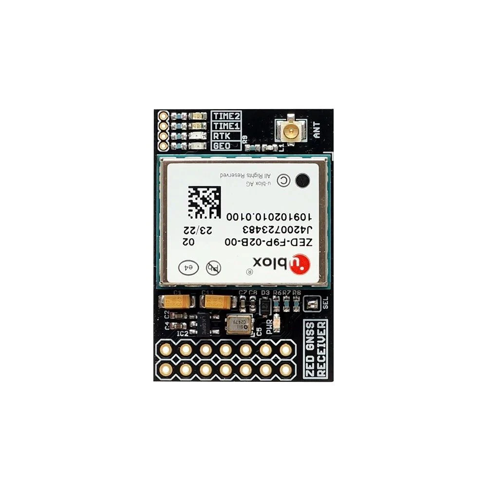
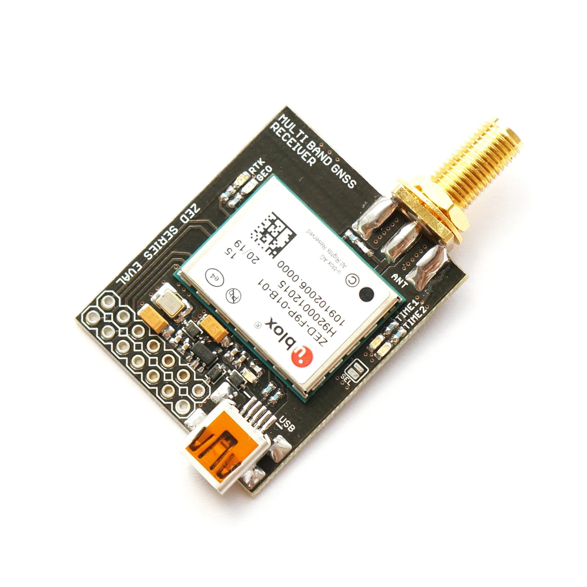
ZED-F9P RTK GNSS receiver board with SMA Base or Rover
ZED-F9P RTK InCase PIN GNSS receiver board with IPEX (U.FL) Base or Rover
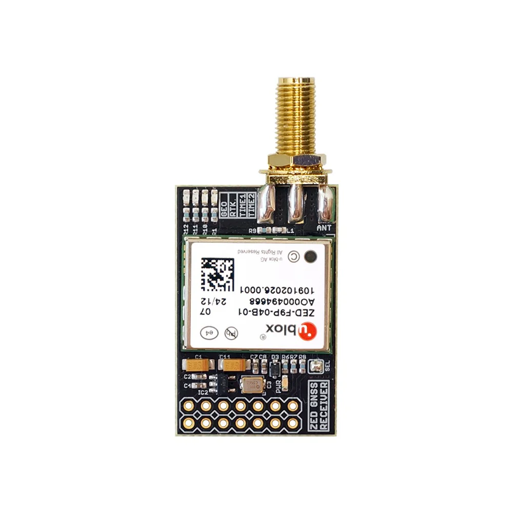
ZED-F9P RTK InCase PIN GNSS receiver board with SMA Base or Rover
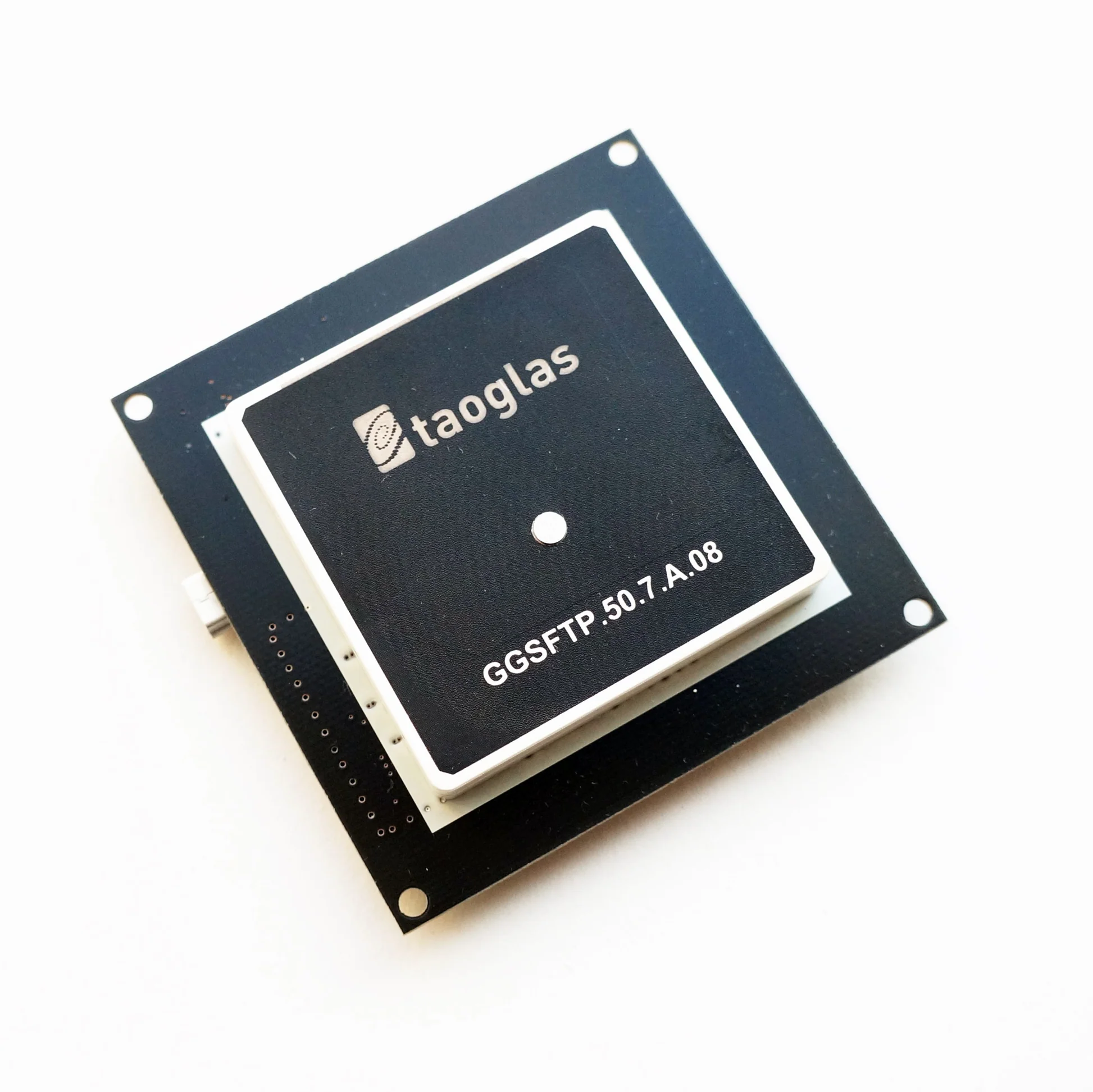
ZED-F9P RTK GNSS receiver board with GNSS Active Quad Helix Antenna
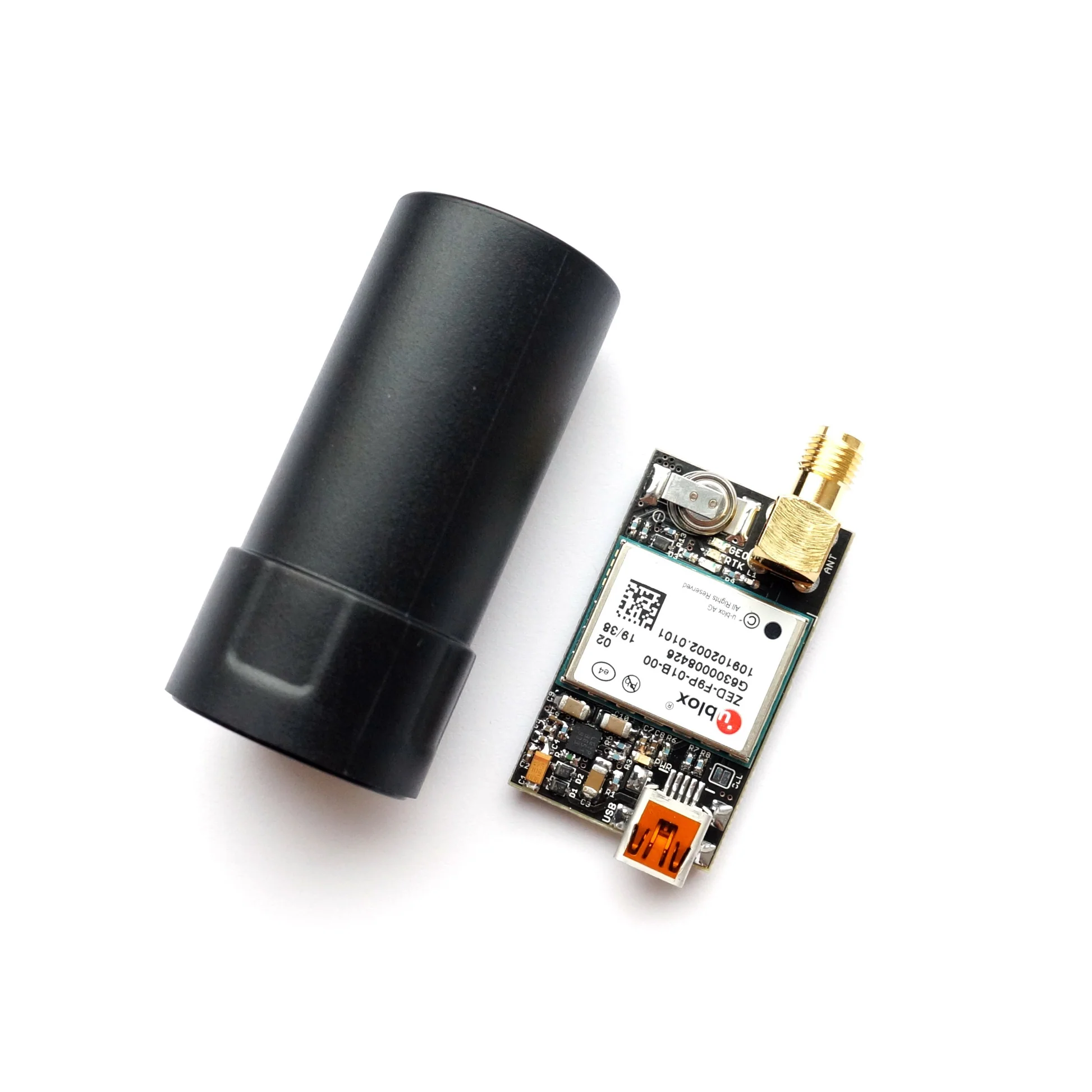
ZED-F9P RTK InCase PIN GNSS receiver board with SMA and USB