GNSS Mining Solutions in Maine
GNSS mining solutions in Maine support quarry planning, resource-area measurement, and rugged field positioning, where accurate positioning, dependable site control, and efficient field workflows are essential. Mining operators, survey teams, engineers, and site managers rely on GNSS-enabled tools to improve measurement accuracy, support equipment guidance, and maintain more consistent operational visibility across extraction environments.
From mine surveying and pit mapping to haul road layout, stockpile measurement, and site development support, GNSS mining workflows help professionals across Maine improve precision and streamline decision-making. Browse city-specific GNSS mining pages throughout Maine to find solutions aligned with your operational requirements.
Featured Products
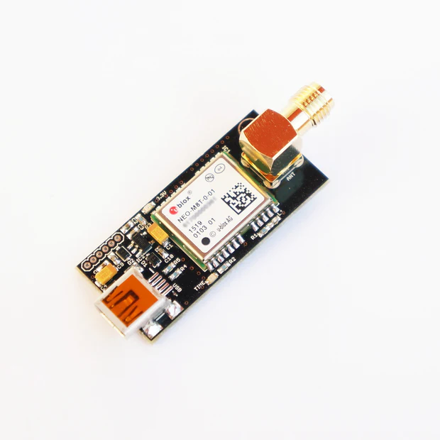
NEO-M8T TIME and RAW receiver board with SMA (RTK ready)
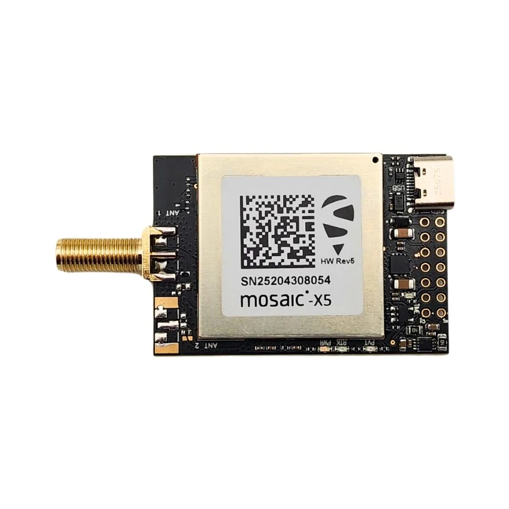
mosaic-X5 RTK InCase PIN GNSS receiver board with USB C
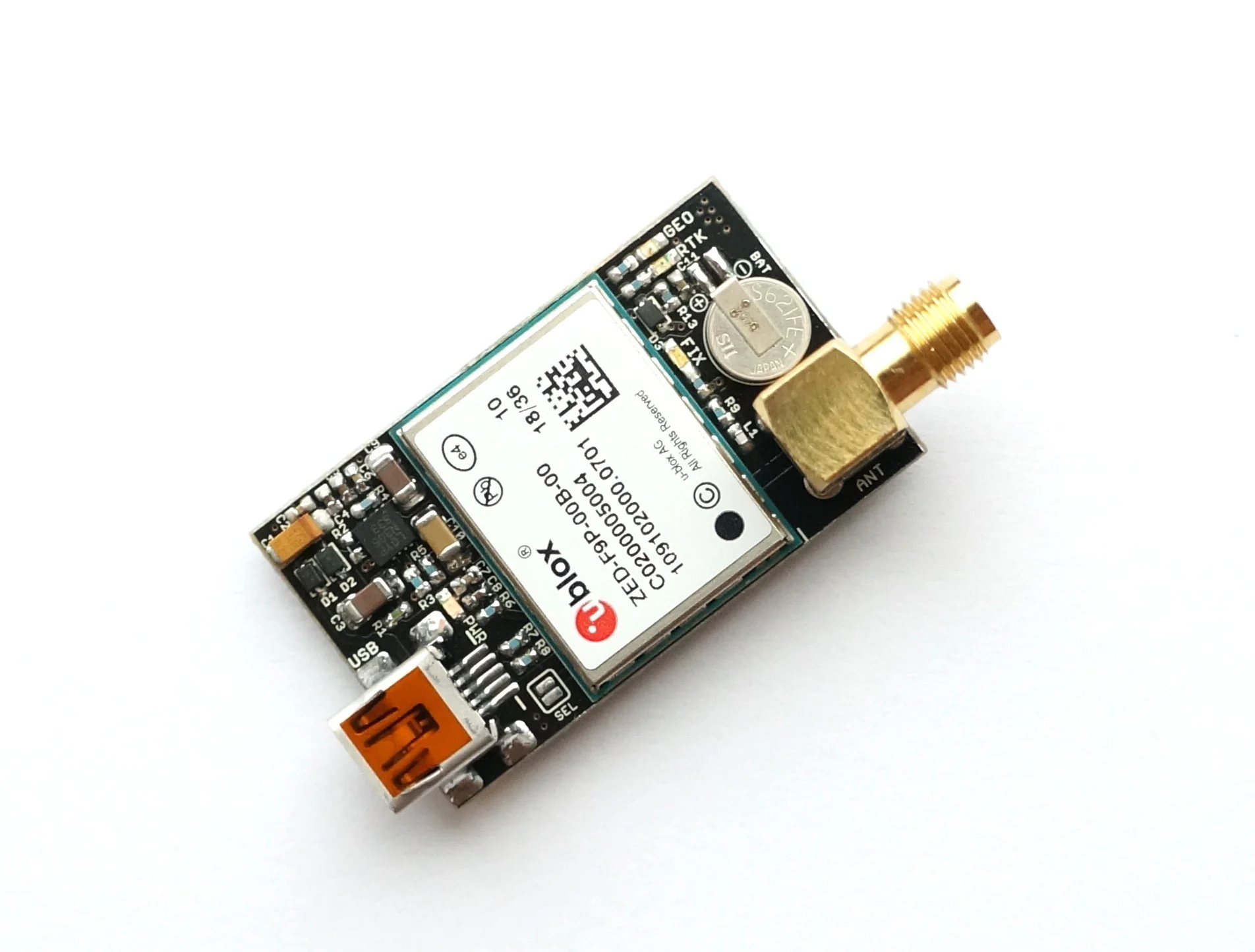
ZED-F9P RTK GNSS receiver board with SMA Base or Rover
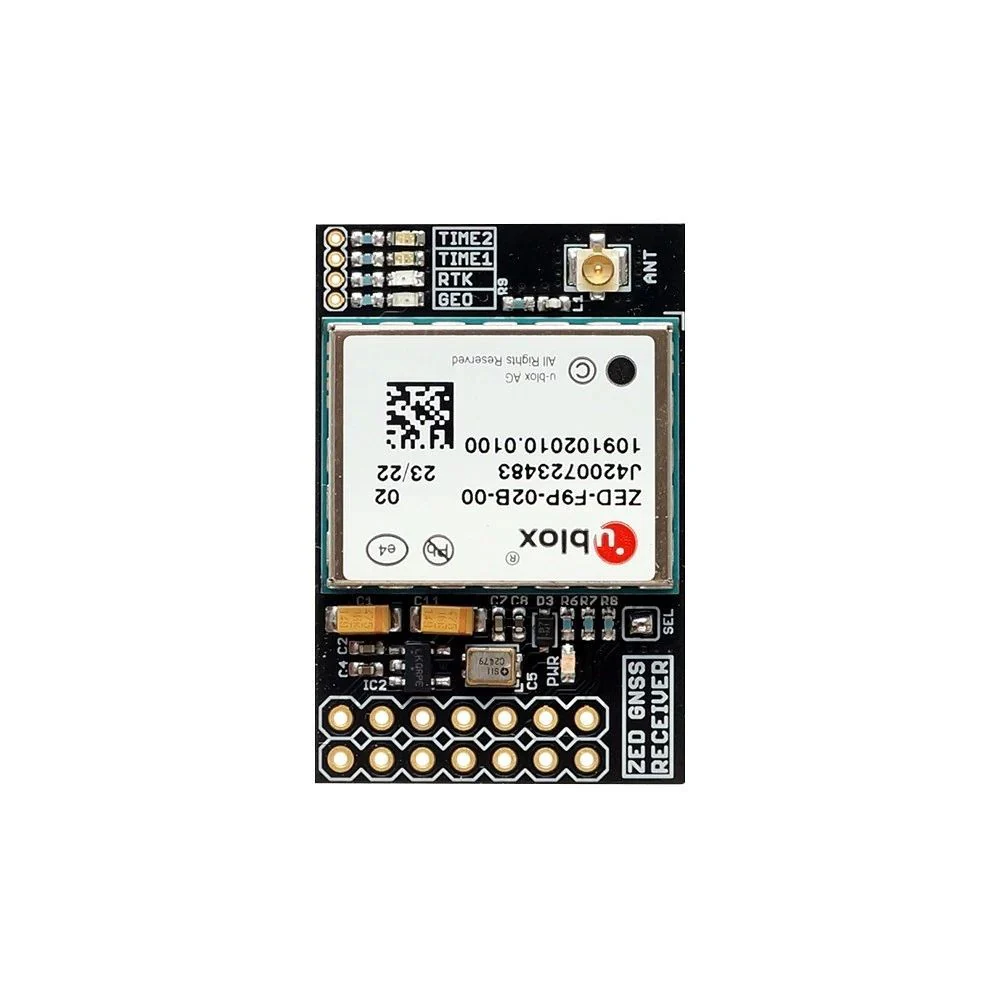
ZED-F9P RTK InCase PIN GNSS receiver board with IPEX (U.FL) Base or Rover
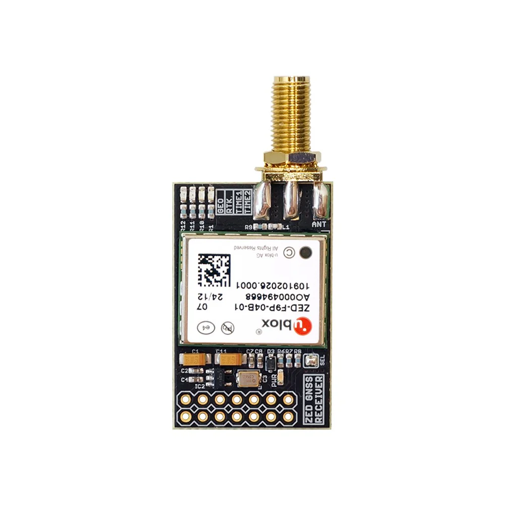
ZED-F9P RTK InCase PIN GNSS receiver board with SMA Base or Rover
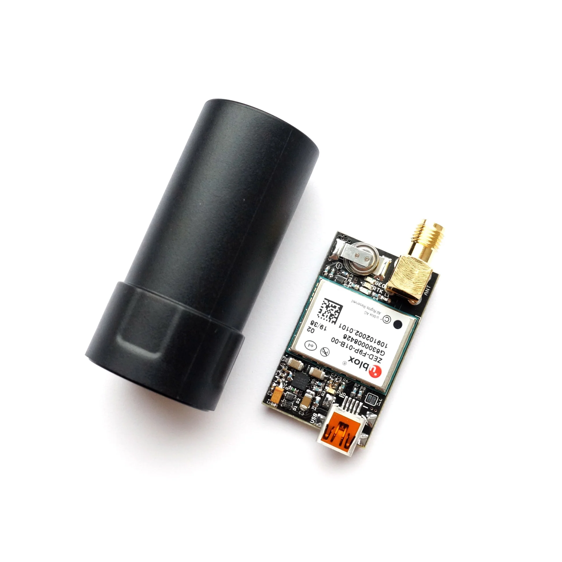
ZED-F9P RTK GNSS receiver board with GNSS Active Quad Helix Antenna
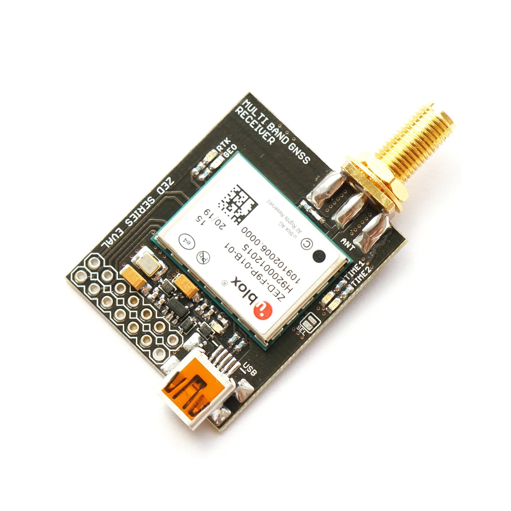
ZED-F9P RTK InCase PIN GNSS receiver board with SMA and USB