Drone Mapping in Texas
Drone mapping in Texas supports large-scale development, energy projects, and wide-area drone mapping operations, where accurate aerial data and efficient field documentation are essential. Surveyors, engineers, developers, utility teams, and geospatial professionals rely on drone-based workflows to improve visibility, accelerate data collection, and support better decision-making across a wide range of project environments.
From orthomosaic mapping and topographic modeling to construction progress monitoring, inspections, and land development planning, drone mapping helps professionals across Texas work faster and with greater detail. Browse city-specific drone mapping pages throughout Texas to find solutions aligned with your operational requirements.
Featured Products
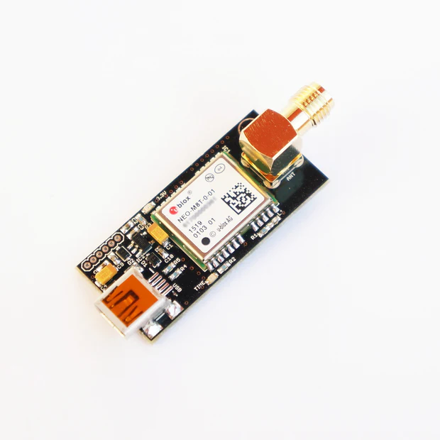
NEO-M8T TIME and RAW receiver board with SMA (RTK ready)
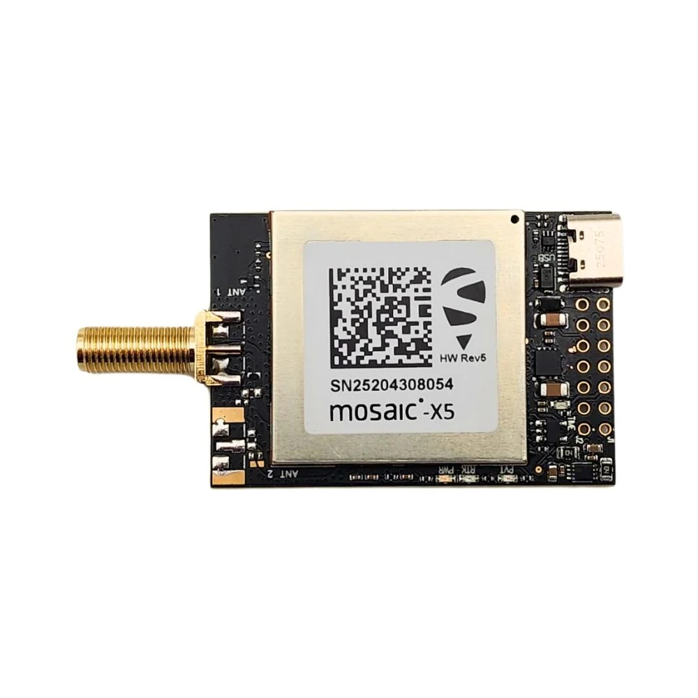
mosaic-X5 RTK InCase PIN GNSS receiver board with USB C
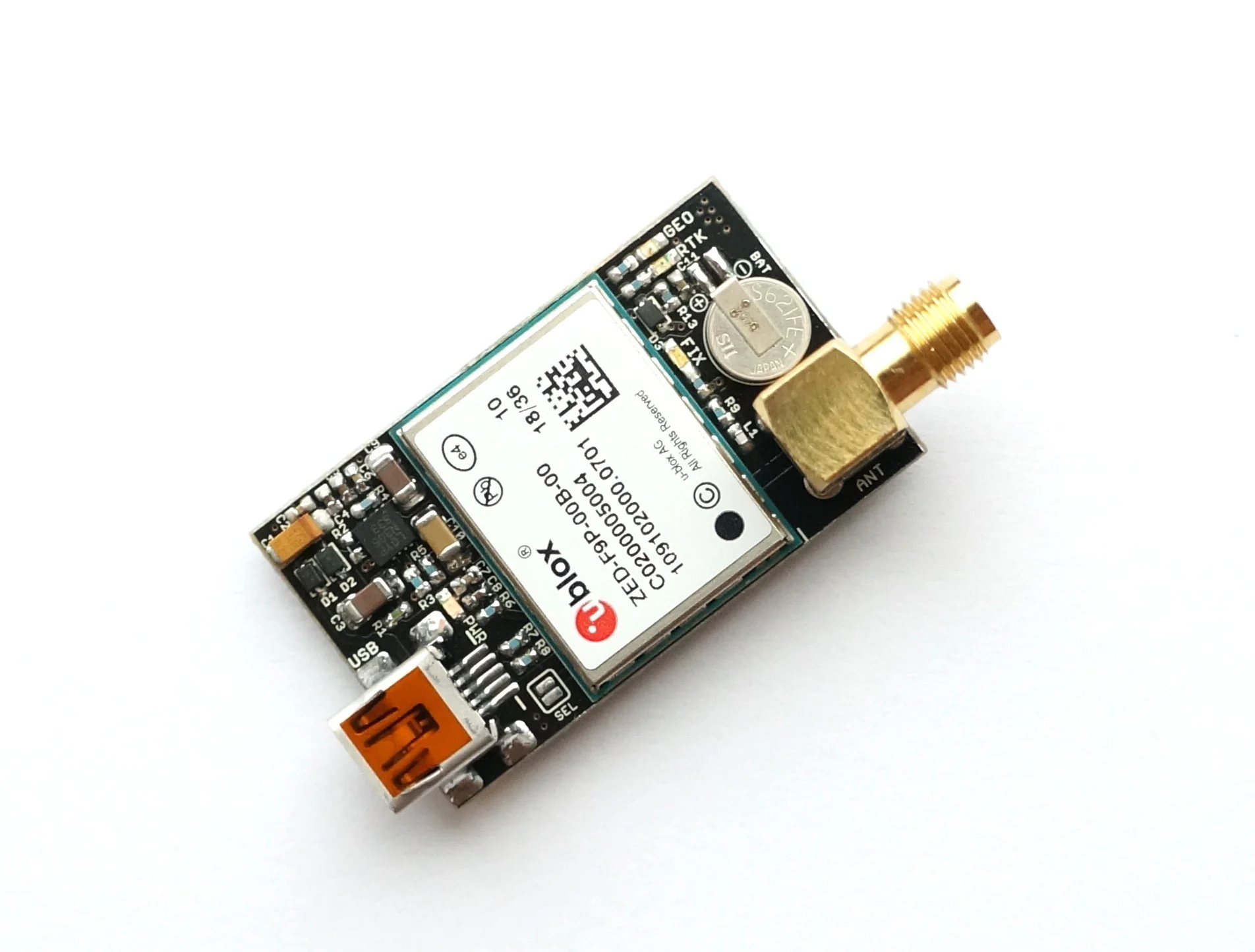
ZED-F9P RTK GNSS receiver board with SMA Base or Rover
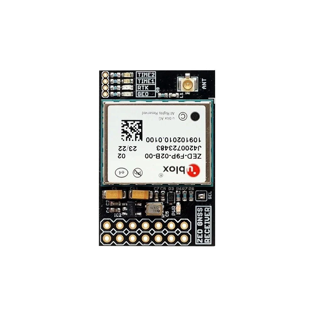
ZED-F9P RTK InCase PIN GNSS receiver board with IPEX (U.FL) Base or Rover
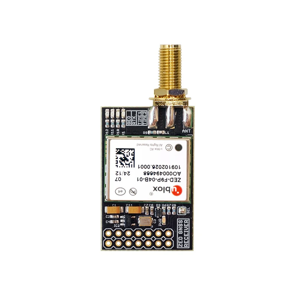
ZED-F9P RTK InCase PIN GNSS receiver board with SMA Base or Rover
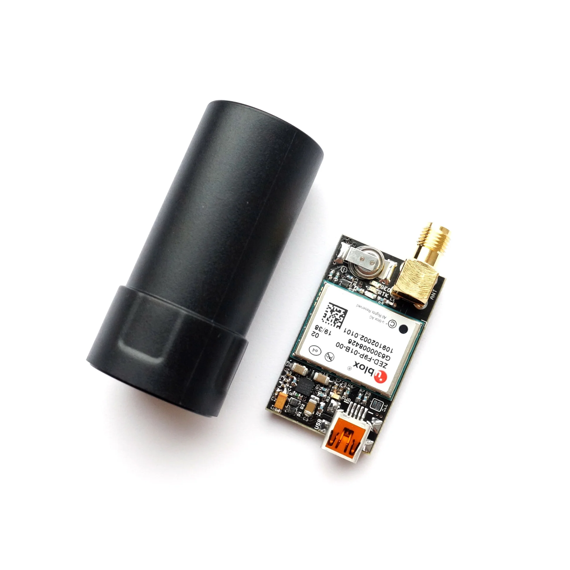
ZED-F9P RTK GNSS receiver board with GNSS Active Quad Helix Antenna
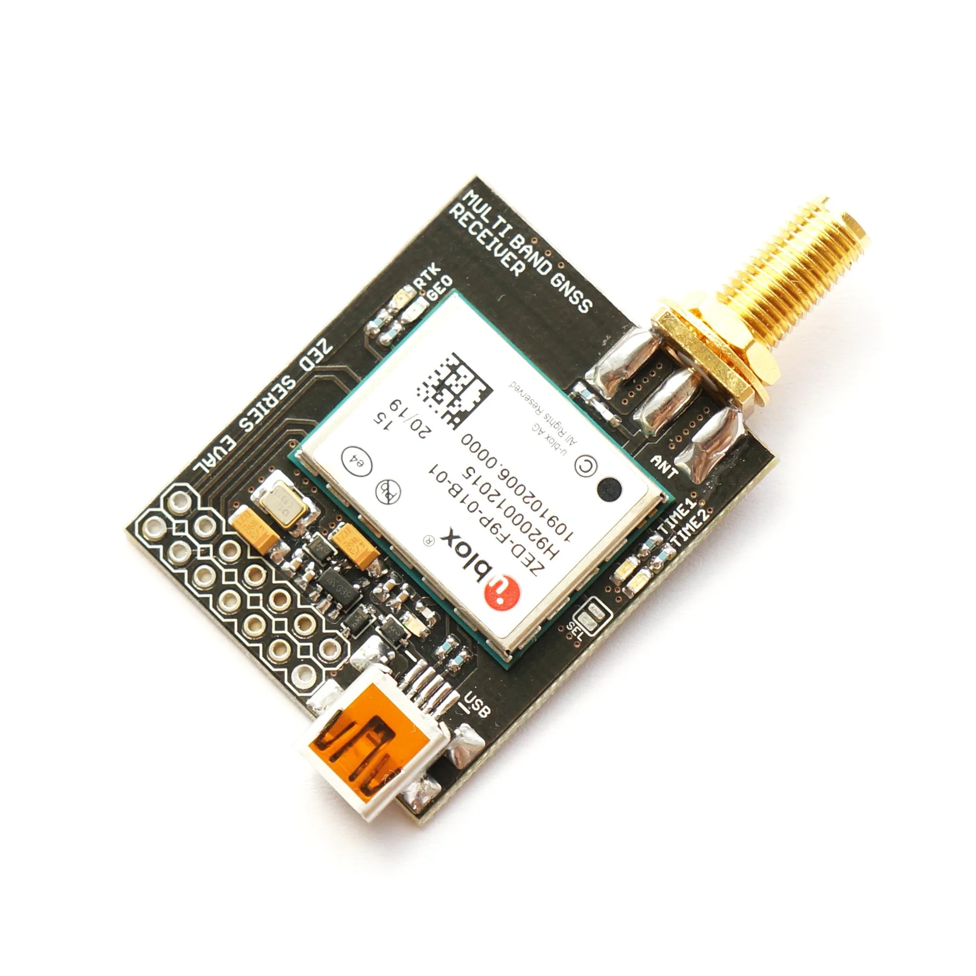
ZED-F9P RTK InCase PIN GNSS receiver board with SMA and USB