RTK GNSS Hardware for Drone Mapping, UAV Surveying and High-Accuracy Aerial Data Collection
RTK drone mapping systems allow UAV platforms to capture highly accurate geospatial data without the need for extensive ground control points. By integrating RTK GNSS receivers and smart antennas, drones can achieve centimeter-level positioning accuracy while collecting aerial imagery, photogrammetry data, and mapping information.
DiveNetGPS offers RTK GNSS hardware designed for drone surveying, UAV mapping workflows, and aerial inspection operations. These receivers support real-time kinematic correction networks, multi-frequency satellite positioning, and reliable integration with UAV flight control systems.
RTK-enabled drone mapping is widely used for construction monitoring, infrastructure inspection, environmental mapping, and precision agriculture. With accurate georeferencing capabilities, RTK GNSS systems significantly improve mapping accuracy and reduce post-processing time.
Featured Products
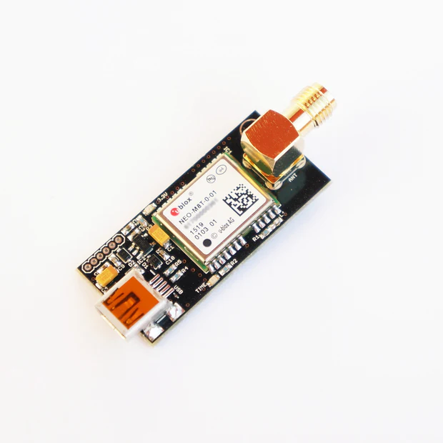
NEO-M8T TIME and RAW receiver board with SMA (RTK ready)
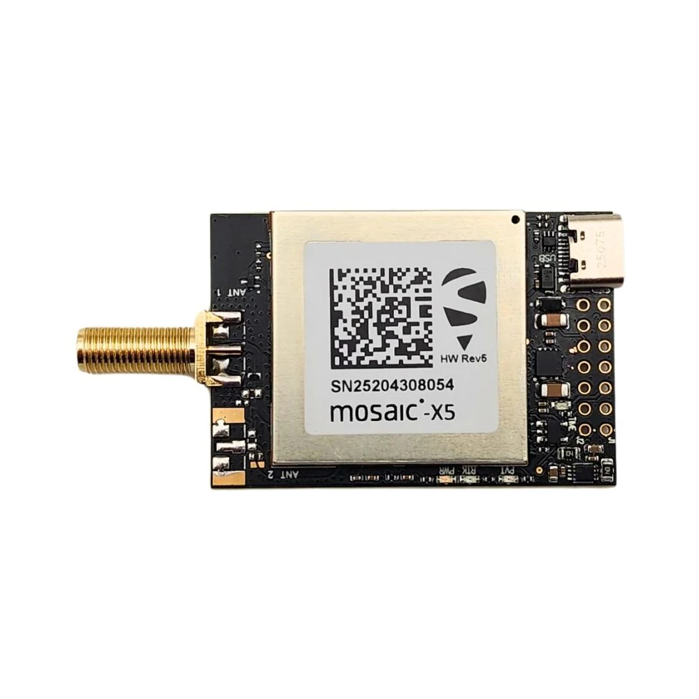
mosaic-X5 RTK InCase PIN GNSS receiver board with USB C
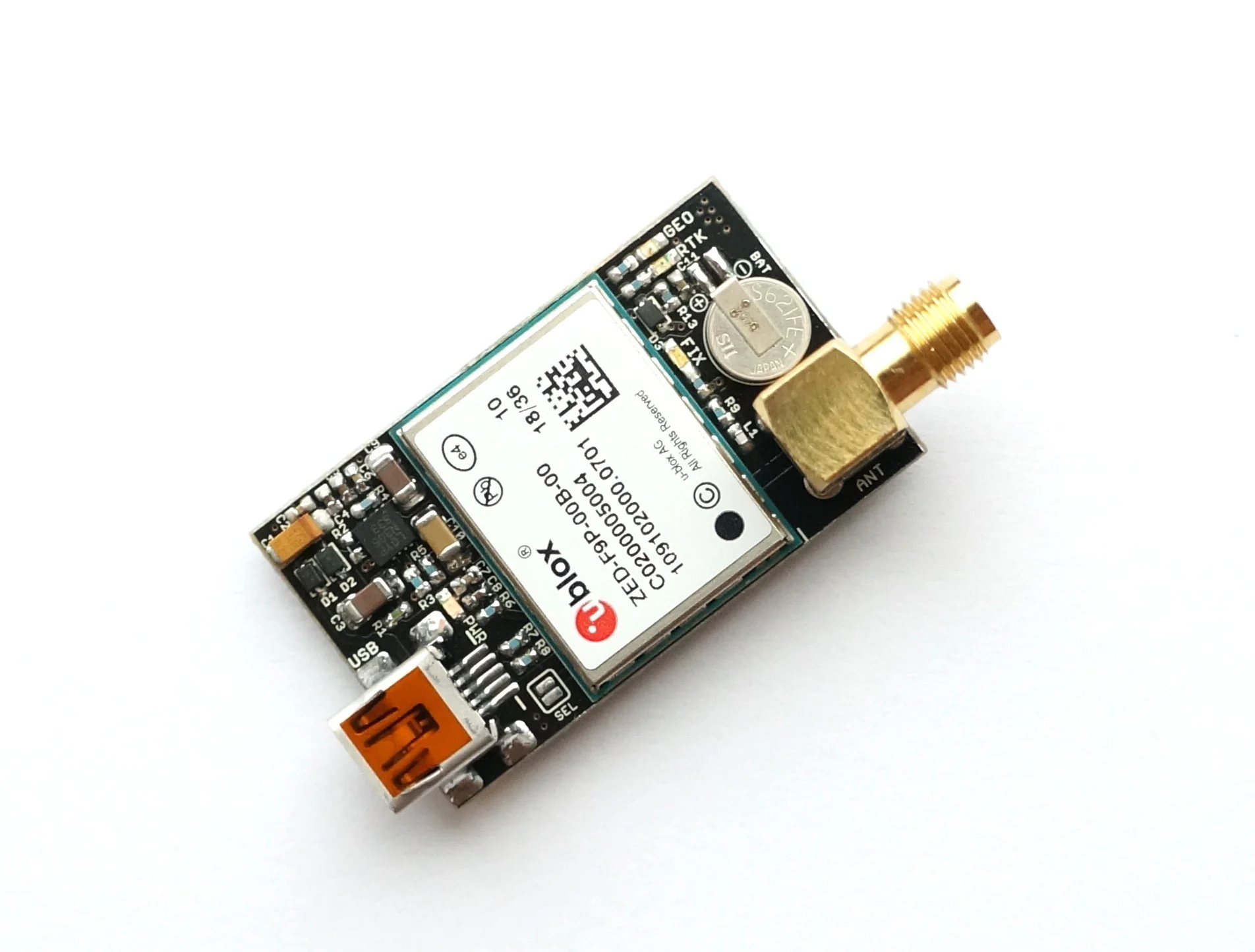
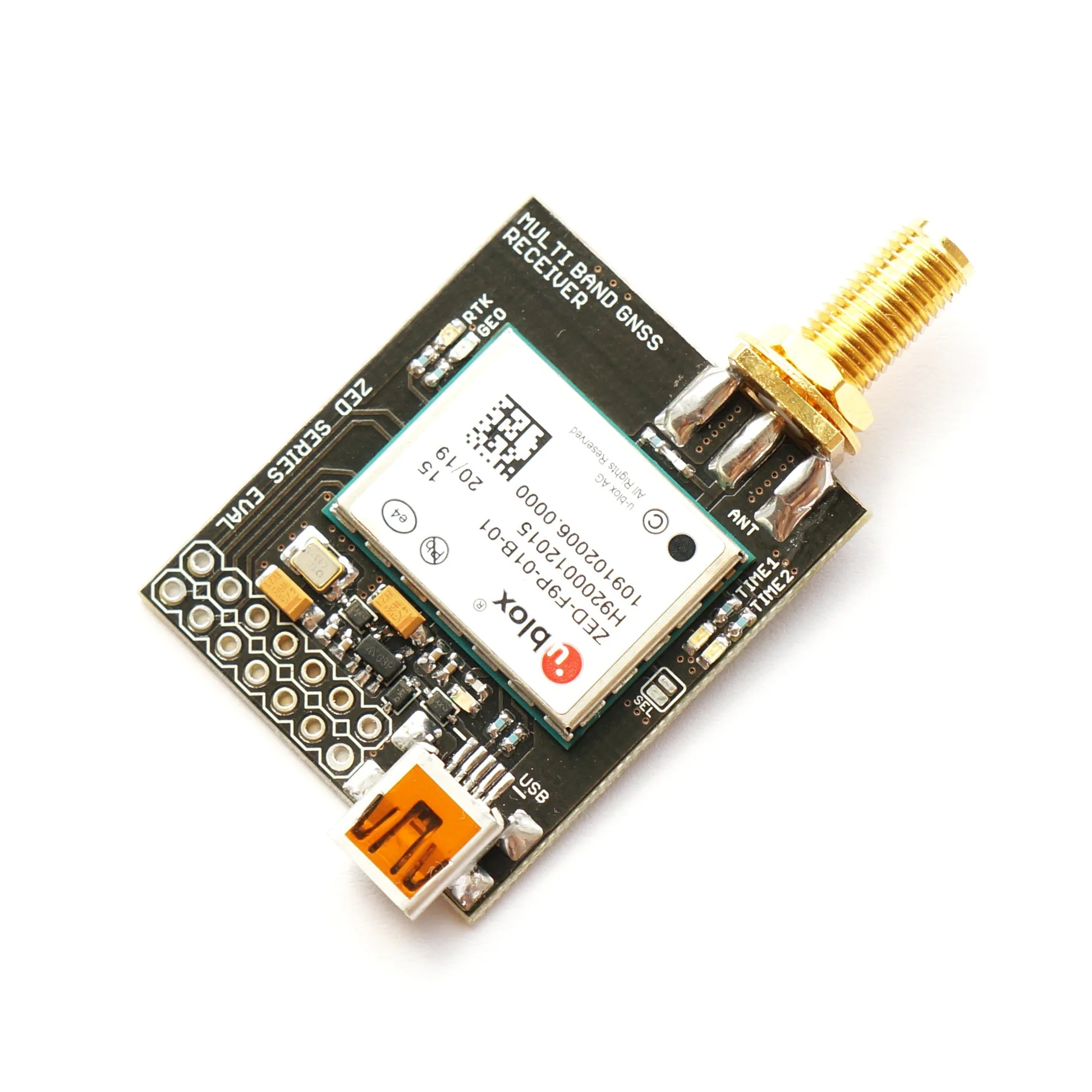
ZED-F9P RTK GNSS receiver board with SMA Base or Rover
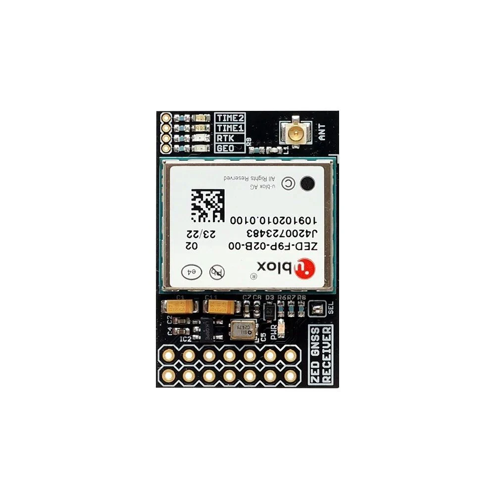
ZED-F9P RTK InCase PIN GNSS receiver board with IPEX (U.FL) Base or Rover
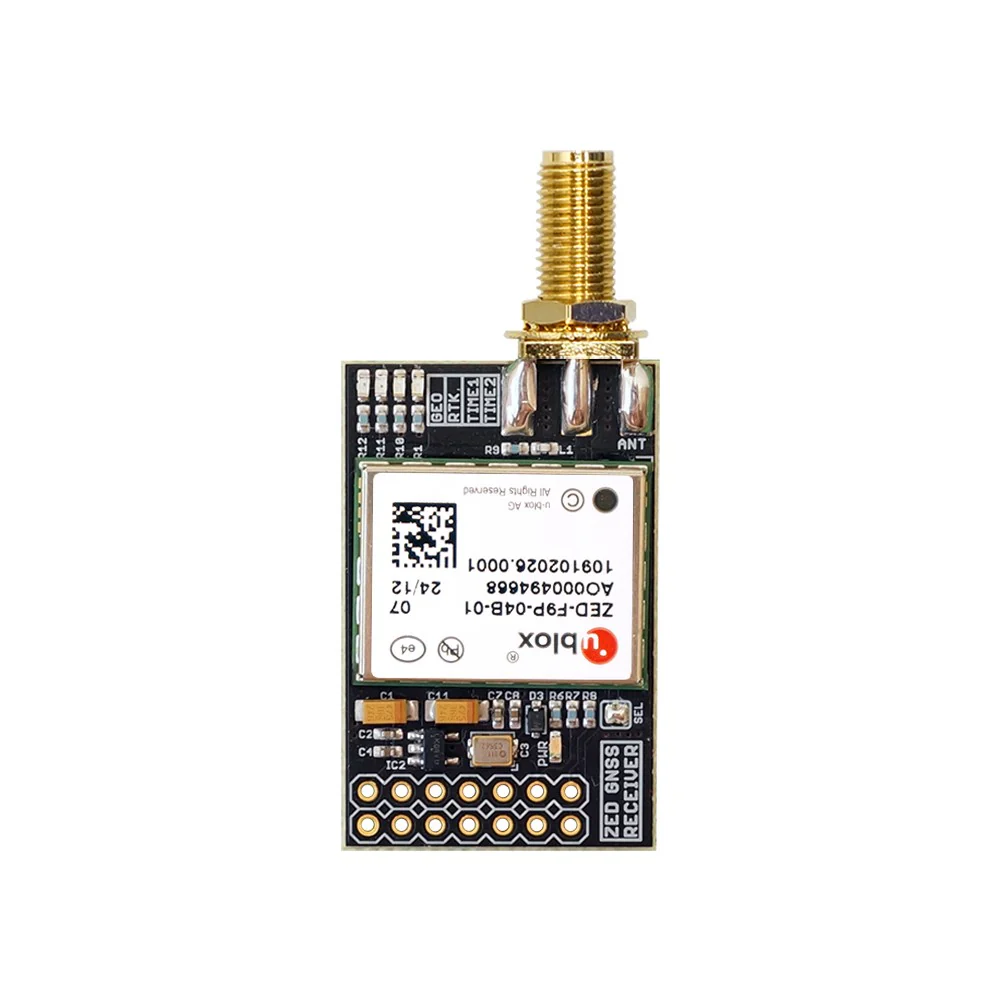
ZED-F9P RTK InCase PIN GNSS receiver board with SMA Base or Rover
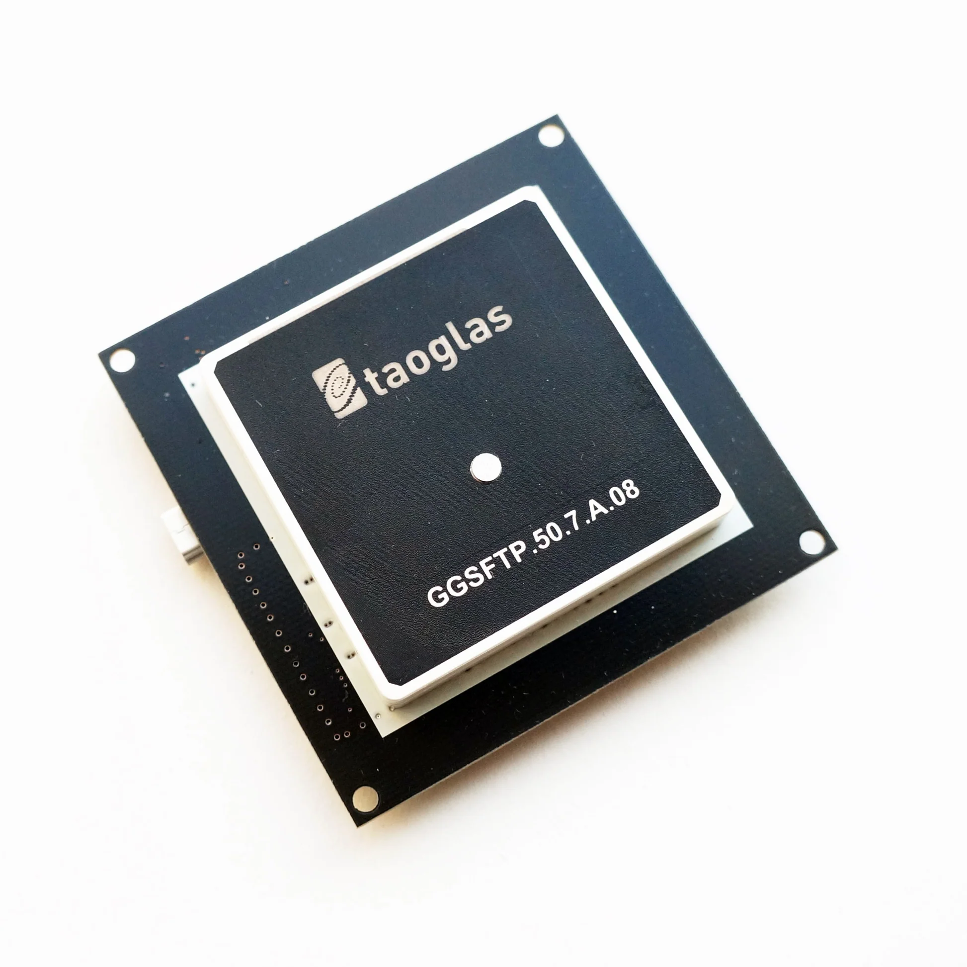
ZED-F9P RTK GNSS receiver board with GNSS Active Quad Helix Antenna
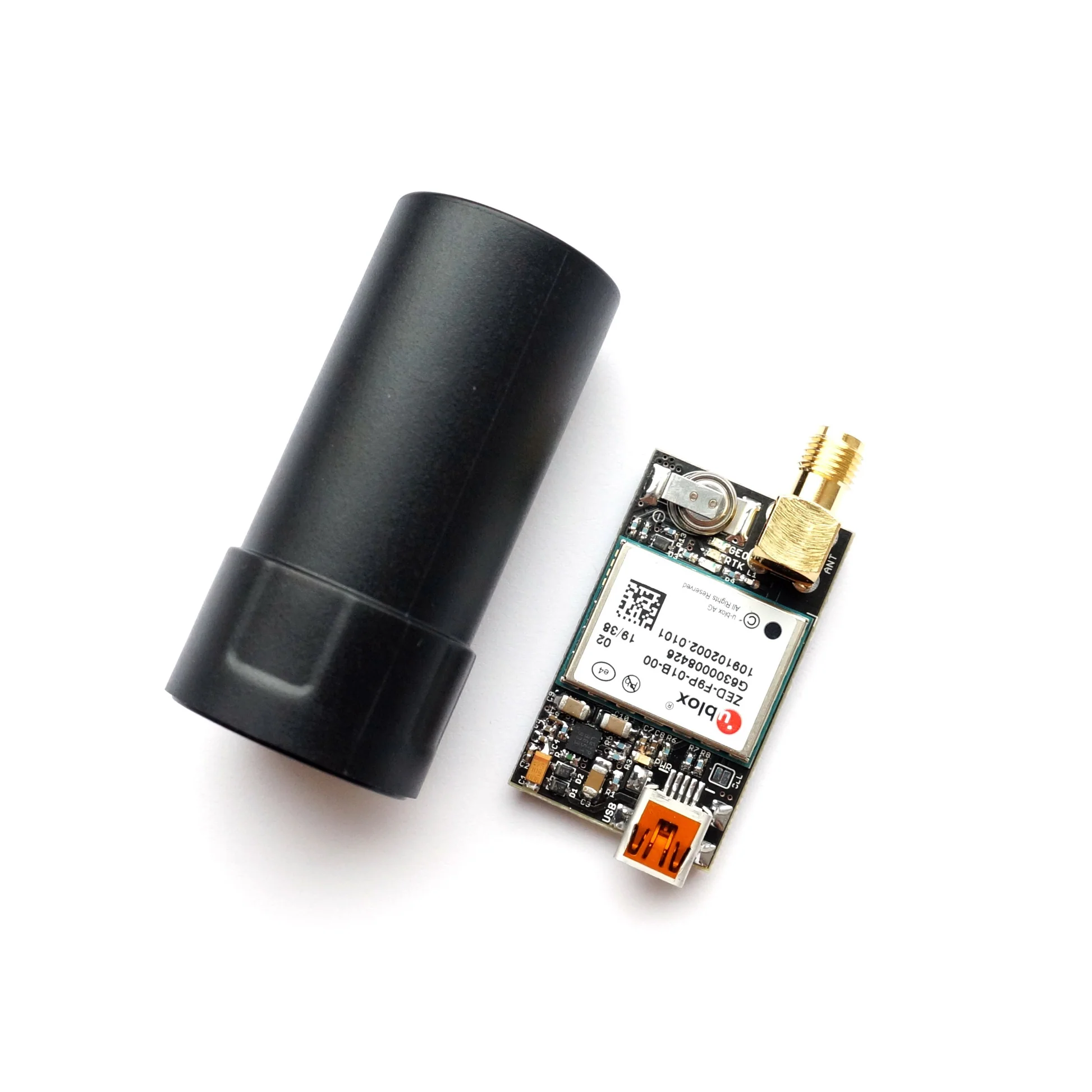
ZED-F9P RTK InCase PIN GNSS receiver board with SMA and USB